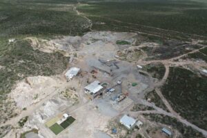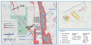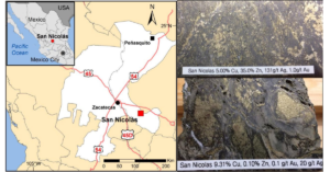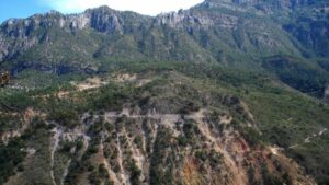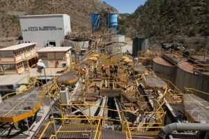
Endeavour Silver Continues to Intersect High-Grade Mineralization at the Guanacevi Mine including 3.54 g/t Gold and 1,129 g/t Silver for 1,412 g/t Silver Equivalents over 7.28 meters
“We are encouraged by the drill results at Guanacevi, as we continue to delineate high grades in areas which are proximal to the mill and historic working areas. The results announced today demonstrate both growth and steady improvement of the deposit and mine plan,” stated Dan Dickson, Chief Executive Officer.